Check the status and details of your reservation


Reference

Email of booking

  • Do you like hiking?

    Do you like hiking?

    We show you the main routes in the area


  • Discover our natural environment

    Discover our natural environment

    Waterfalls, Pools, Picnic areas and much more


  • River Routes

    River Routes

    Walkways to enjoy the rivers


  • Trees with history

    Trees with history

    Discover the Pine of "Lentejas" or the Pine "Escobón"


  • Animal observation

    Animal observation

    See the Ibex, Griffon vulture or Egyptian vulture


  • Wanting more?

    Wanting more?

    Below we leave you the main routes


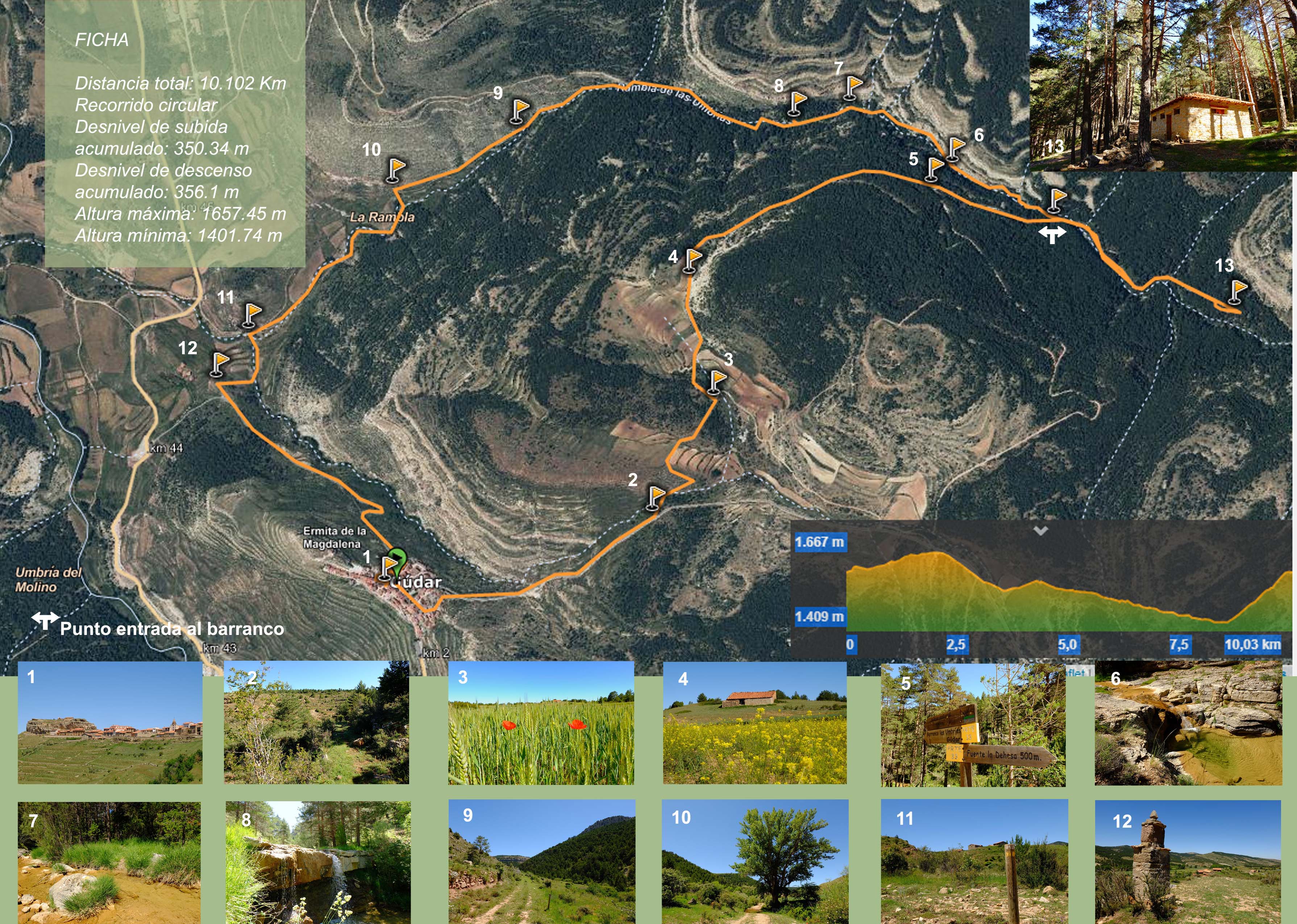
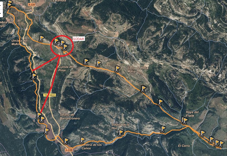
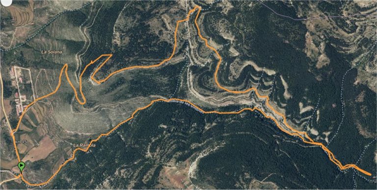
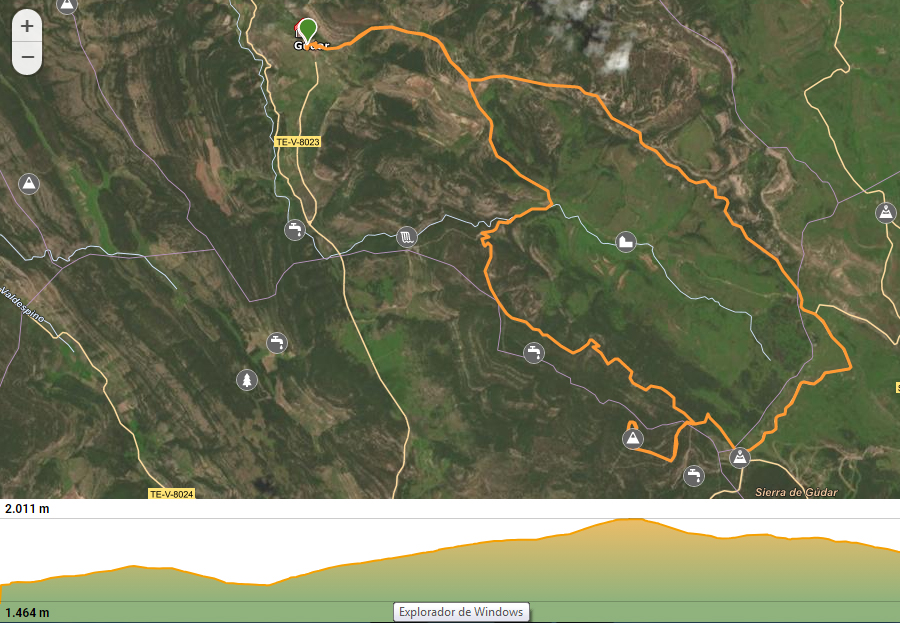
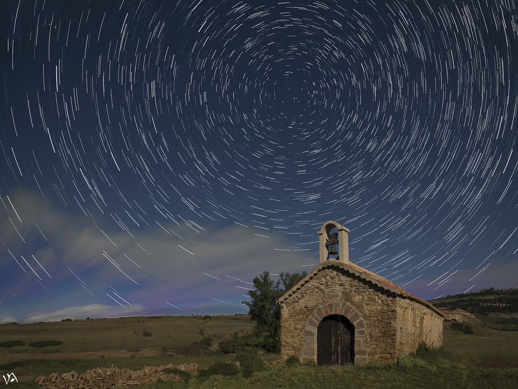
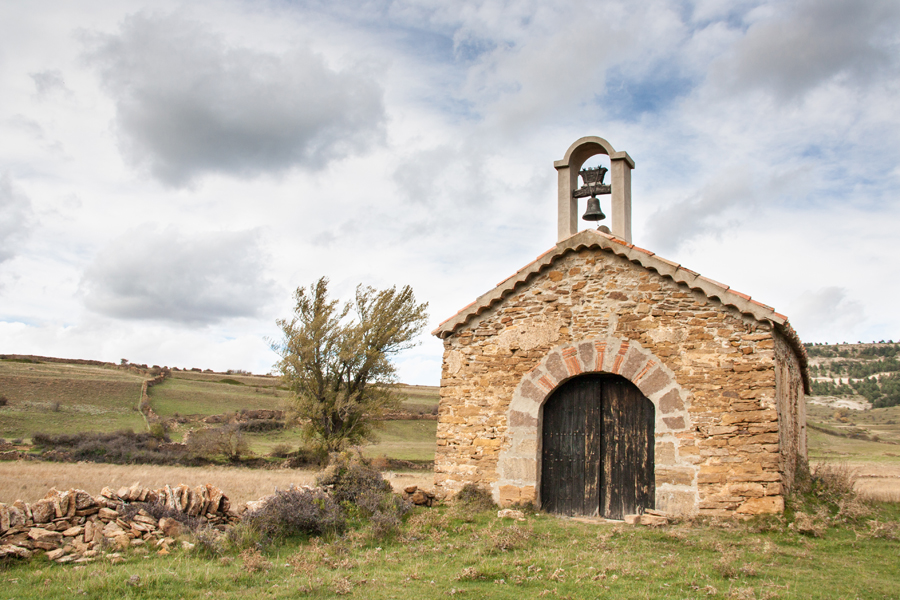
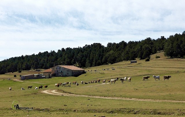
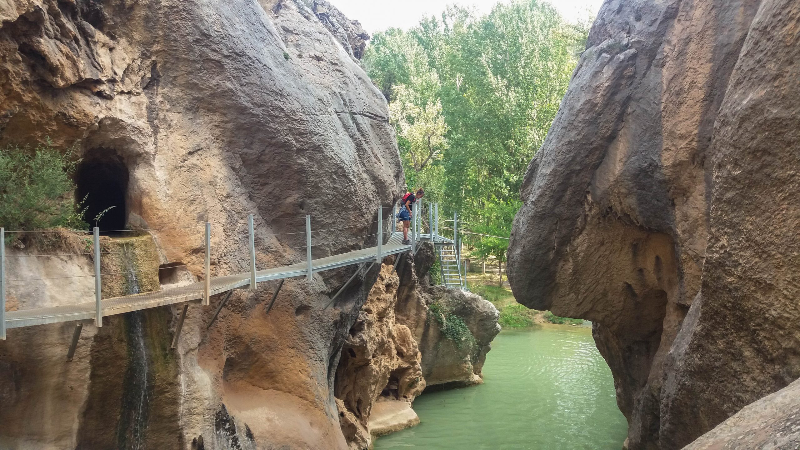
Caños de Gúdar - Gúdar waterfalls walk

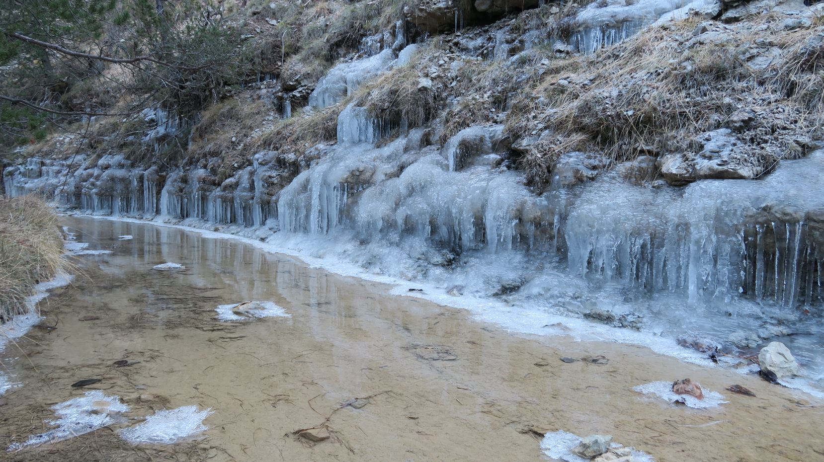
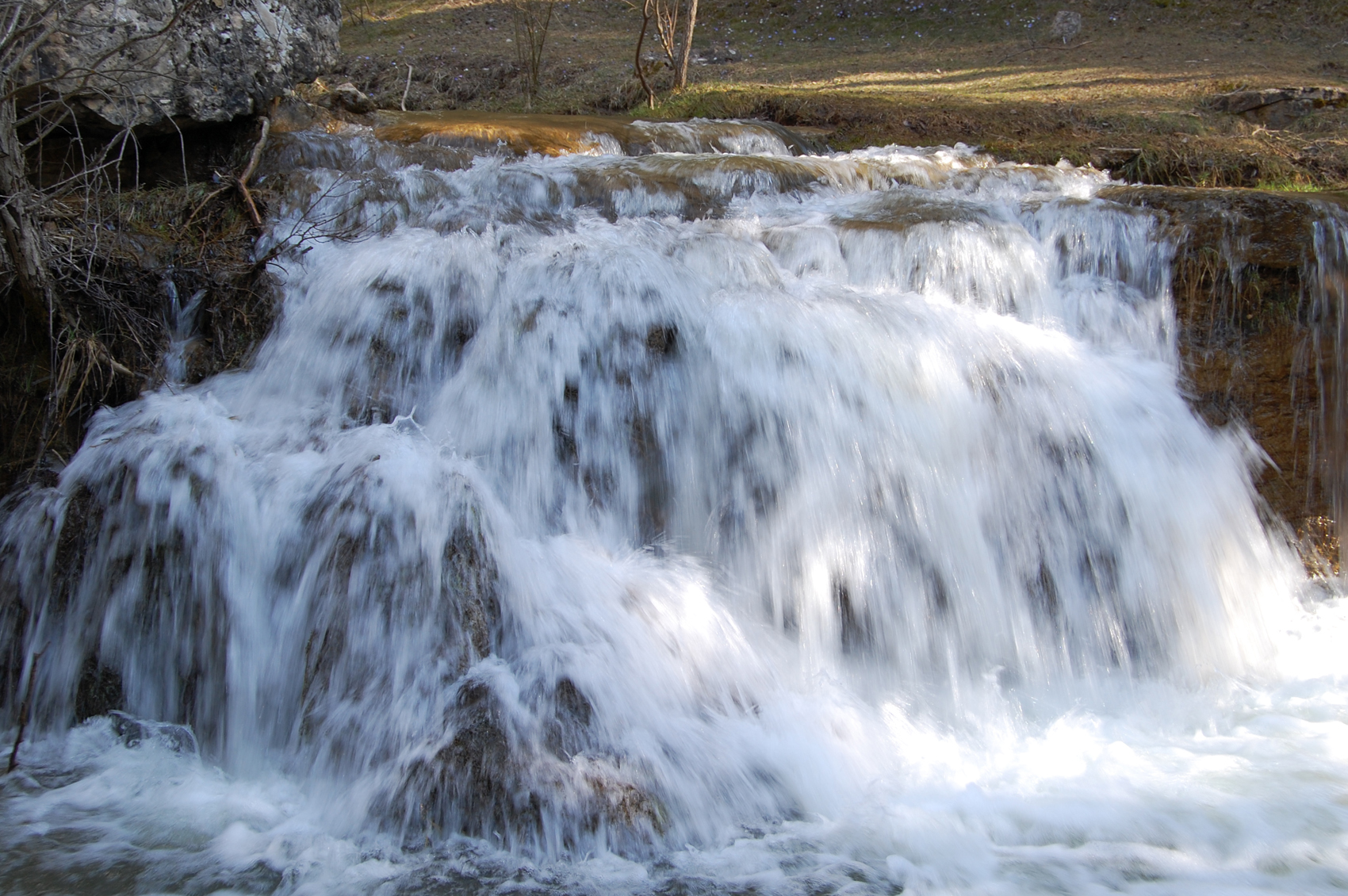
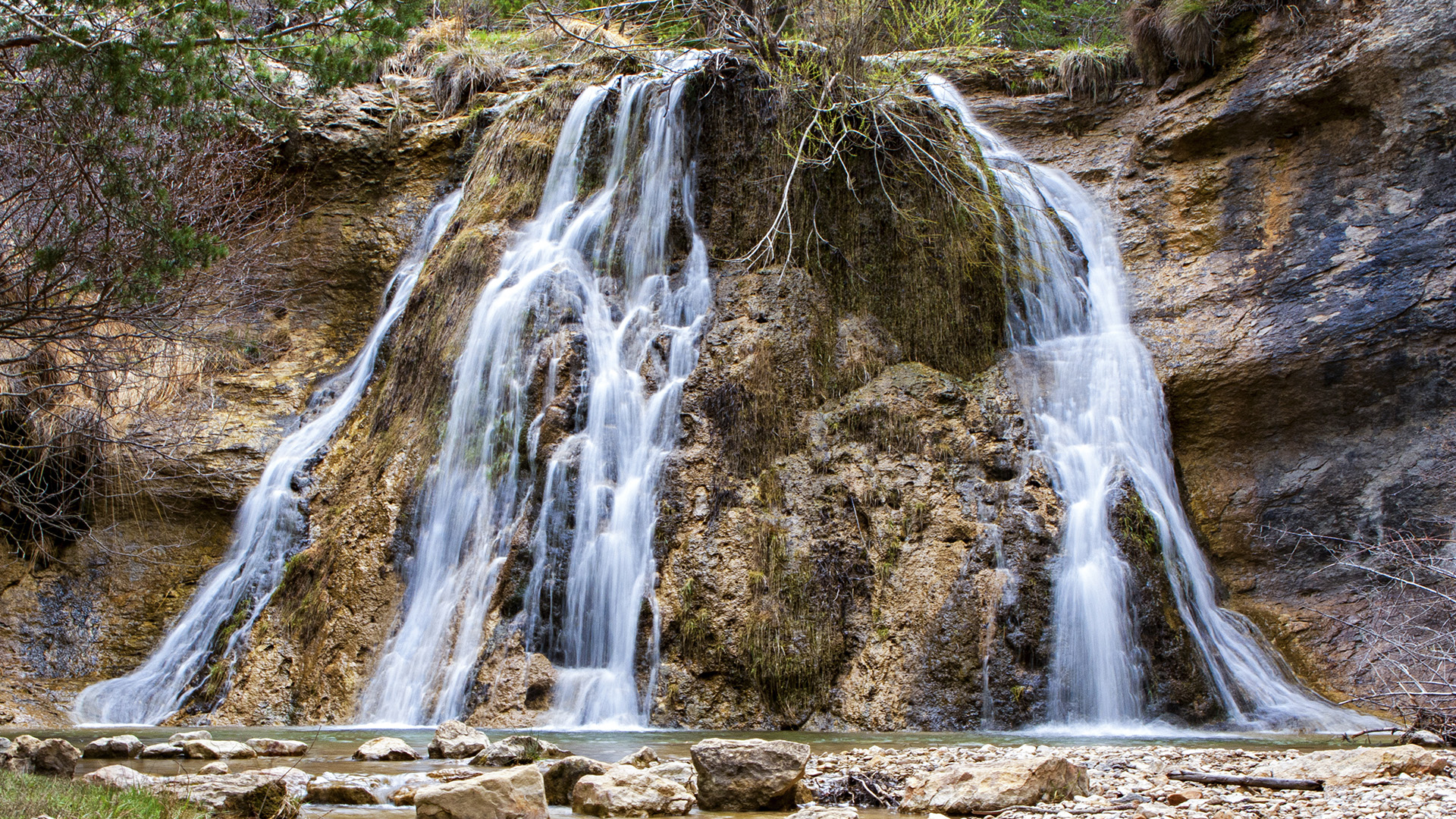
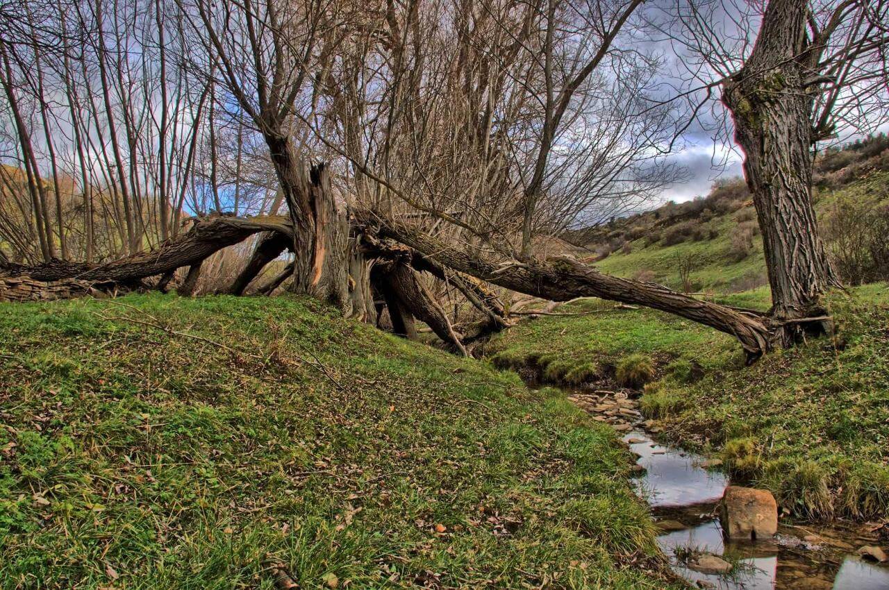
The spring of The "Caños de Gúdar" is located 2 kilometers from the town. This is a walk suitable for all ages along the Blanco River (Alframbra) to see the waterfalls that form when the underground lagoon overflows during the rainy season. The walk is just a couple of kilometers but the place is beautiful and has areas set up for picnics. At all times it runs alongside the Alframbra river, which forms small pools and waterfalls until it reaches the main waterfall. The return is along the same route and can be done throughout the year. 

It is a protected area ans it's necessary to take the care of it and collect the waste we have arrived with and take it to a garbage collection point. 

Umbrías Ravine

PR-T 33 is a circular route about 9.5 km distance. Approximate duration 3.45 h.  The difficulty of the route is easy with a gradient of 250 m. 

With a beautiful landscape all year round, this route through the Barranco de las Umbrías will discover different pools of water, plant species, and a variety of birds until we reach the Merendero de la Dehesa; an ideal recreational area to relax, have lunch or prepare a torra to eat with family or friends. We will be able to enjoy a walk among pine forests, touring the margins of the Umbrías ravine, which depending on the time of year may carry more or less water and we will also see fields of work at the departure and

arrival of the route. Ideal for taking a refreshing swim in the summer and becoming a route of ice waterfalls for the most intrepid during the winter.

For more information about this route we leave the map below or you can also visit wikiloc.com or an alternative version where it also explains flora and fauna during the route at: 
https://https://parquechopocabecero.com/el-barranco-de-las-umbrias/


Birth of the Alframbra River GR 199

This route is part of the long-distance trail GR 199 from Val de Motorritas to Allepuz.

The route can be circulated from the town of Gúdar. We will leave along the old road to Valdelinares towards the Motorrita valley, where the river originates. Once in the valley we begin to descend the hut along the GR 199, along which we will go down to the Caños de Gúdar and follow the Alframbra river until the detour to Gúdar town (there are 3 different detours for those who want to do the route more or less long).

The route is approximately 13 km, depending on the exit chosen to return to the town.

Route links: INFORUTAVALMOTORRITASCHOPOCABECERO - WIKILOC

Alclá de la Selva - Gúdar - Valdelinares PRTE 29

This circular path is divided into two phases: from Alcalá de la Selva to Valdelinares (1st Stage) and from Valdelinares to Virgen de la Vega (2nd Stage). About 21.5 km with a duration of approximately 6.30 hours.

In this first section, we will leave the upper area of ​​Las Ollerías, in Alcalá de la Selva itself, to follow the path to Gúdar, passing through the Caños de Gúdar. Once in Gúdar town, we will continue our route crossing the Las Motoritas valley, full of farmhouses where there are many cattle grazing in summer, passing next to the hermitage of Santa Quiteria where we can find a picnic area to take a break before arriving. to Valdelinares population.

Hill of seven places / Cerro de los siete lugares

Route of about 18 km distance.

The difficulty of the route is medium, with an approximate duration of 5.00 hours.

It involves combining parts of the PR-TE33 (Gúdar-Cerro de los Siete Lugares- Gúdar) with the PR-TE8 (Alcalá de la Selva-Cedrillas), joining both with stretches of tracks and some cross-country sector without signage. From the hill, marked with a pylon, you can see the terms of Cedrillas, Ababuj, Aguilar de Alfambra, Monteagudo del Castillo, Pobo, Allepuz and Gúdar, hence the name of the 7 places.

The itinerary: Gúdar – Rambla – Cerro de los Siete Lugares – Recreational area – Camino de Las Lagunas – Corral de Cabezas – Umbría del Molino – Molino de Abajo – Gúdar

For more information about this route, visit: RUTAWIKILO


Peñarroya Peak on Mountain Bike

The Pico de Peñarroya is the highest peak in the province of Teruel at 2028 meters above sea level. It is located between Alcalá de la Selva, Gúdar and Valdelinares.

From Gúdar we can take a mountain bike route to climb the peak of about 30 km. We will leave the town on the road towards Valdelinares - Ski Slopes and we will turn off onto the second dirt track on the right. We will follow the track, with a slight upward slope until we begin to descend to the Source of the Alfambra River, a beautiful place next to the river, very wooded and that has a recreational area. Following the track we will only have to pay attention to two intersections, where we will follow the signs for “Ski slopes” first and “Pico Peñarroya” later.

To return to Gudar, when we descend from the peak we will take the other detour of the track that will take us to the Valdelinares road, along which we will pass near the Valdelinares ski slopes. Continuing along the road we find on the left the detour for Gúdar town.

From Alcalá de la Selva you can also take a hiking route to the peak along the GR8.

Galve and Aliaga Walkways Route

Near Gúdar we can find some routes that run along river paths and ravines through footbridges, we discover the route through the Hoces del Río Alfambra from Aguilar to Galve and the Footbridges route of the Hoz Mala of the Guadalope River in Aliaga.

The route along the Alfambra River Gorges, from Aguilar de Alfambra to Galve, has a length of about 17.6 km. It runs through a 10 km long river canyon that the river carved through the limes

tone. It is one of the most spectacular and least known trails in Teruel, but it involves some difficulty. You can only do the section of the Galve river to go along the walkways with the little ones.

Hoz Mala Footbridges, this river route will take us from the Old Thermal Power Plant to the Molino de la Tosca, about 7 km with medium difficulty. If you want to enjoy this route with the little ones, it is more advisable to do the other section from Montoro to Aliaga.

Vía Ferrata Tha Narrows of La Hoz

The Estrechos de la Hoz is a via Ferrata along the Mijares River in Formiche Alto. It is a mountain itinerary equipped with cables, clamps and other safety elements for almost any age with minimal physical fitness and clear notions about safety, because it is not without risk. Divided into three routes or narrows, the first is the most technical and longest, and therefore also the least recommended for people without experience in via ferrata. During this route you can visit the caves or connect with the Pr where the Sabina Pinera is located. The via ferrata takes place in a unique environment where we can see the narrows of the river and a multitude of geological formations.

With a difficulty of K3, not recommended for people who are just starting out or children.